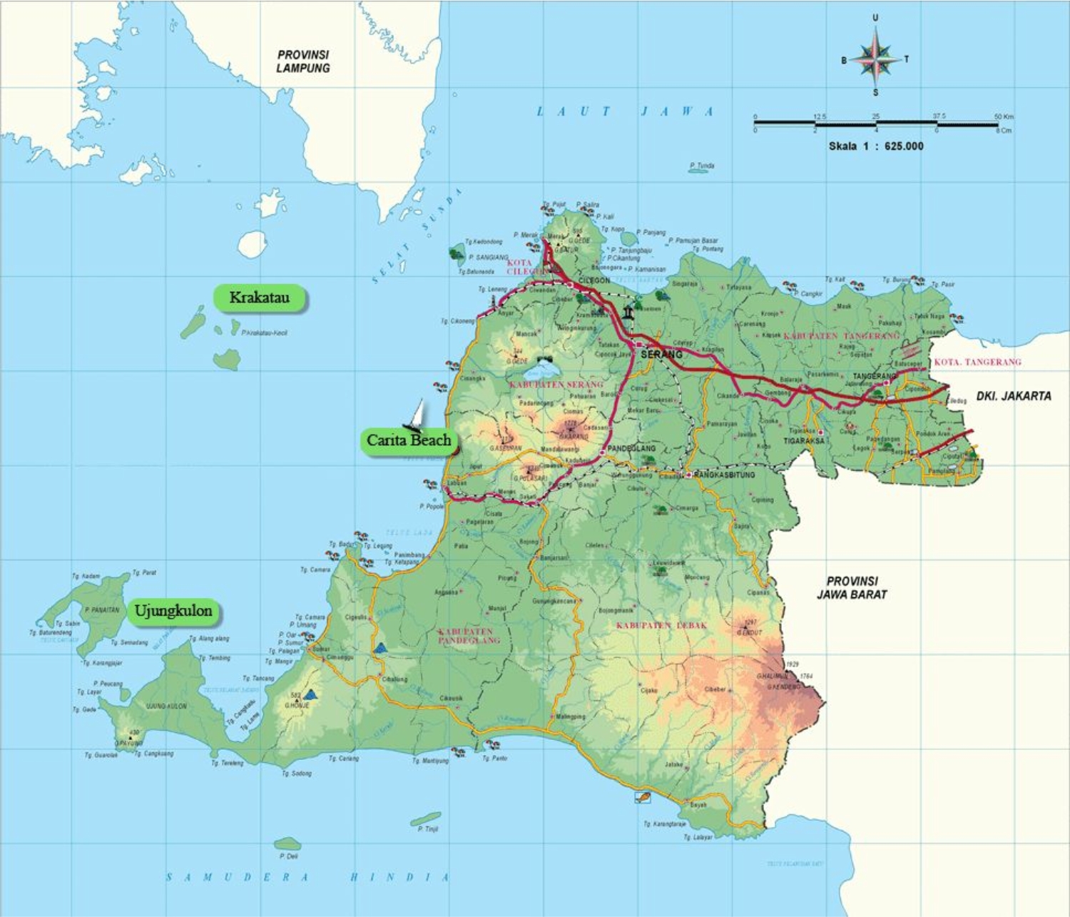
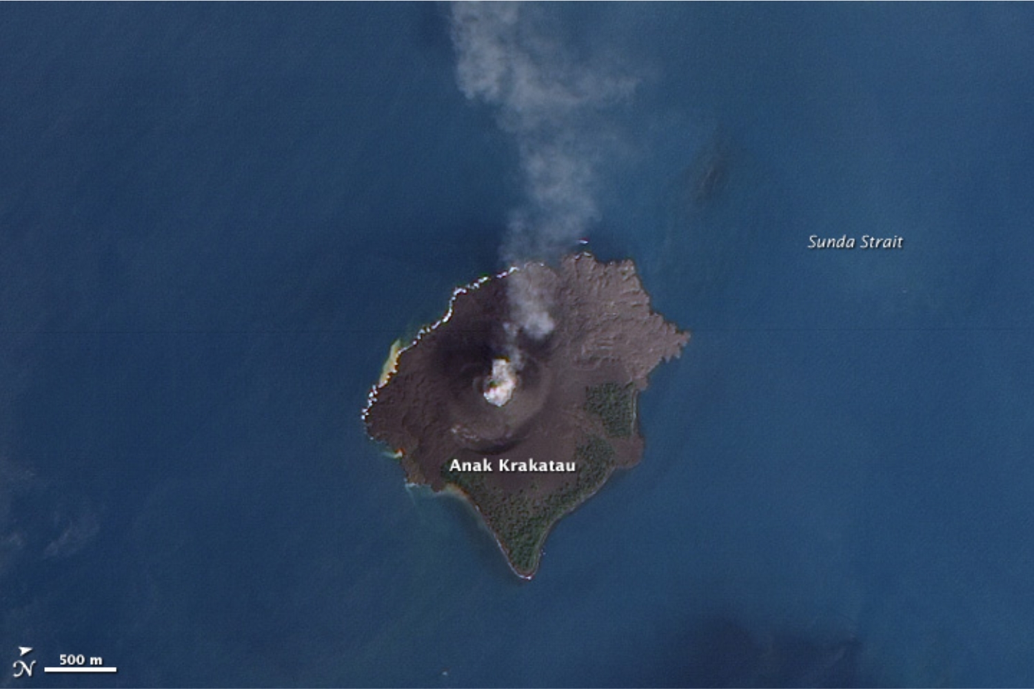
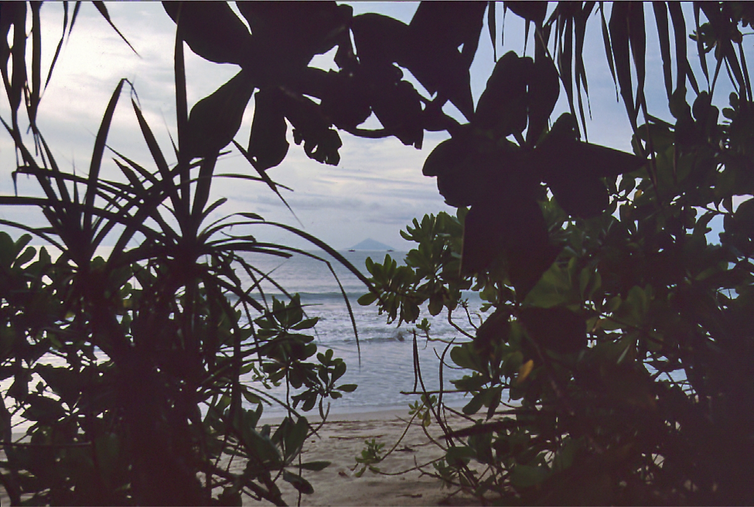
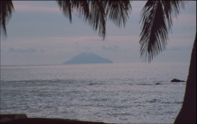
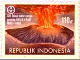
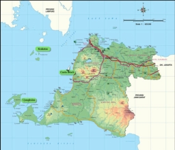
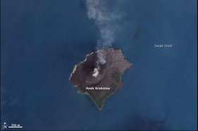
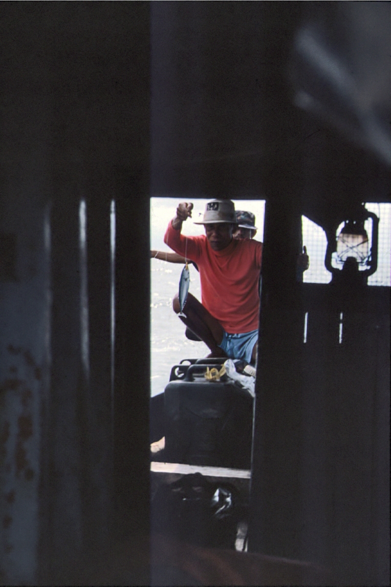
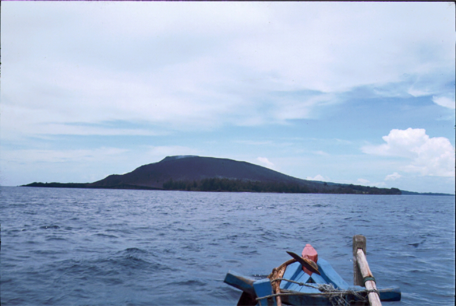
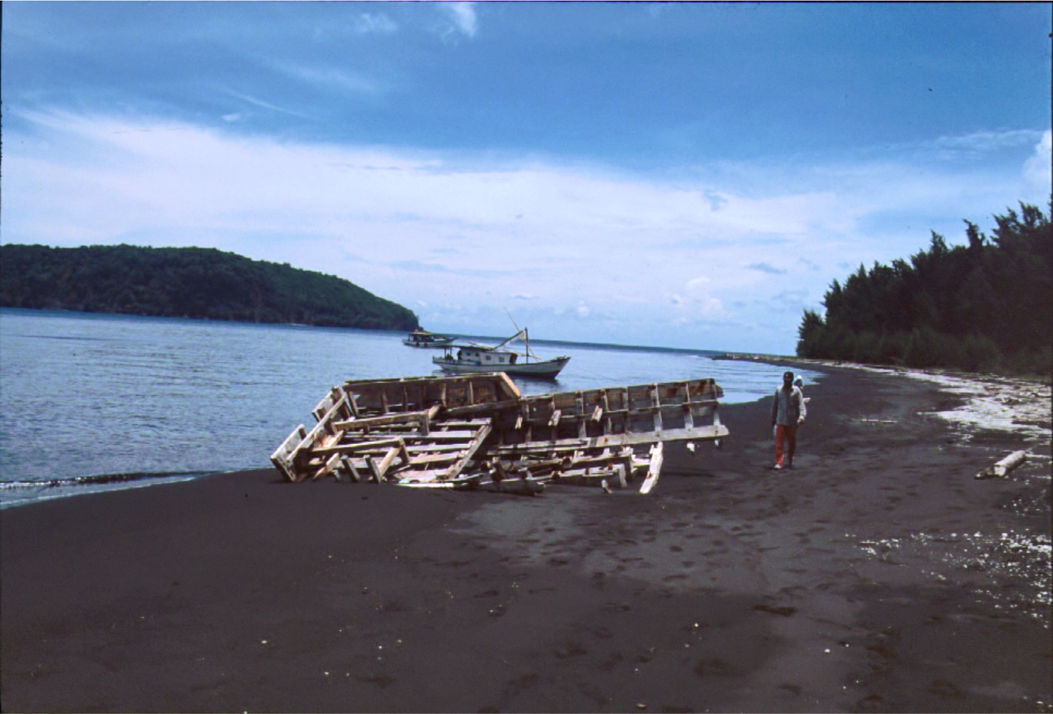
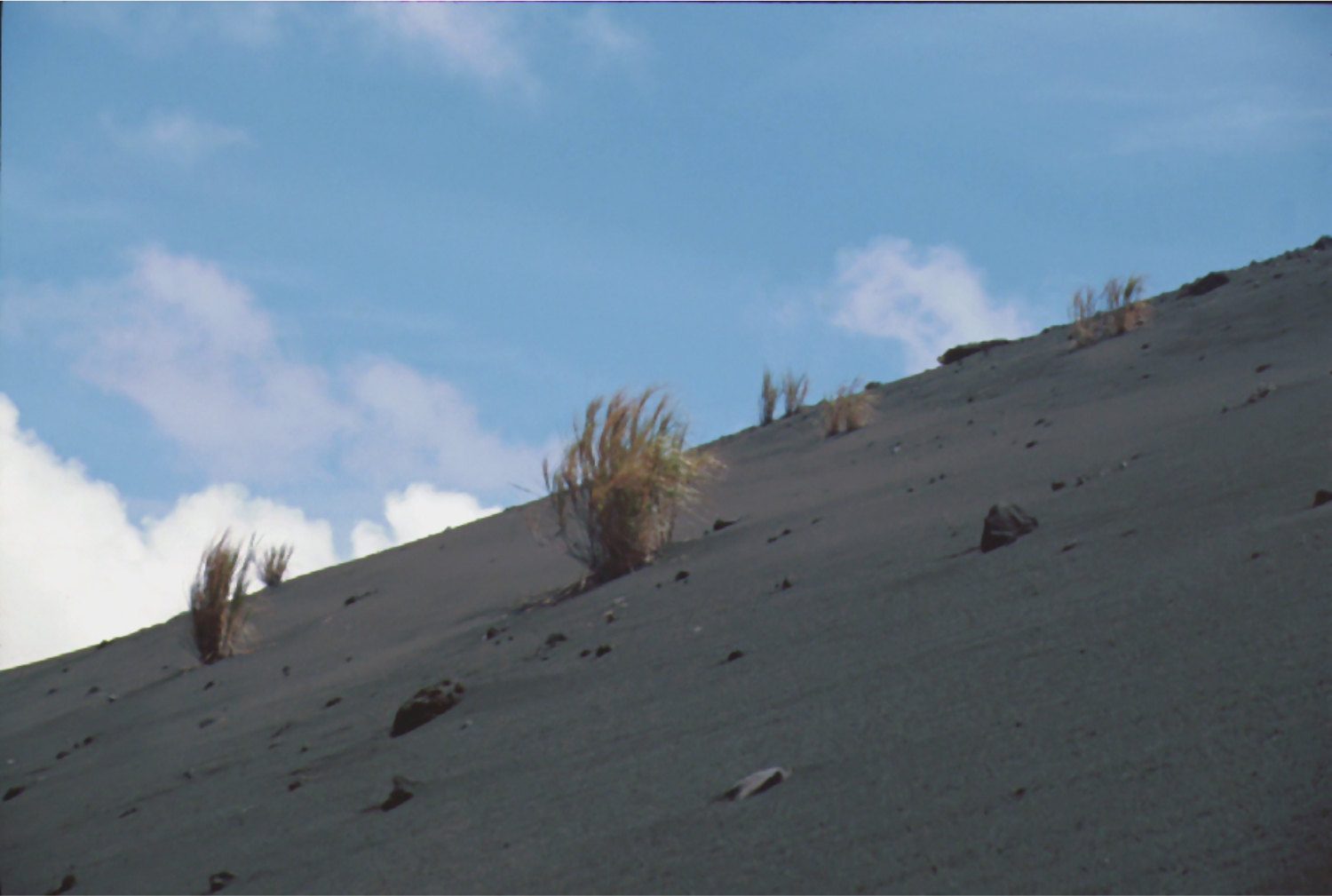
Krakatau
Location: 6.102° S, 105.423° E
Elevation: 812 m
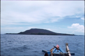
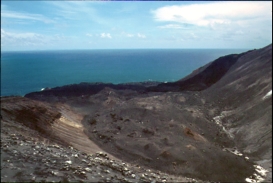
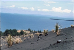
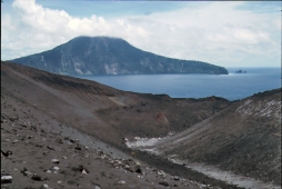
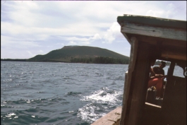
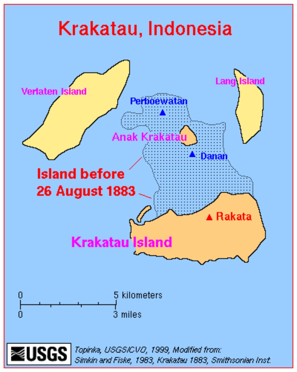
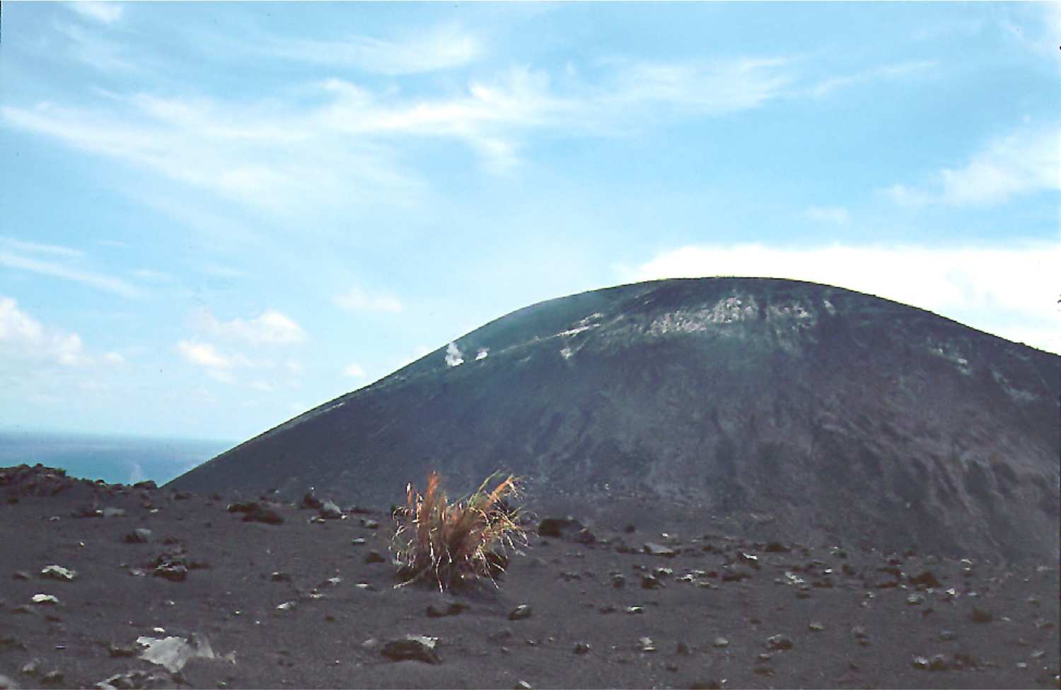
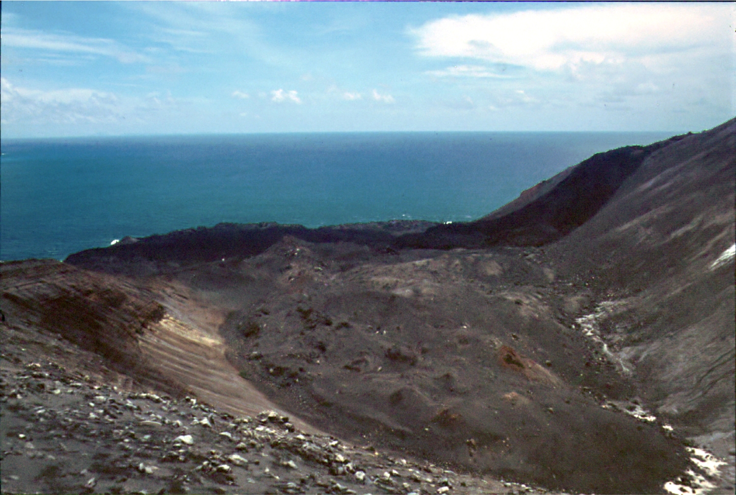
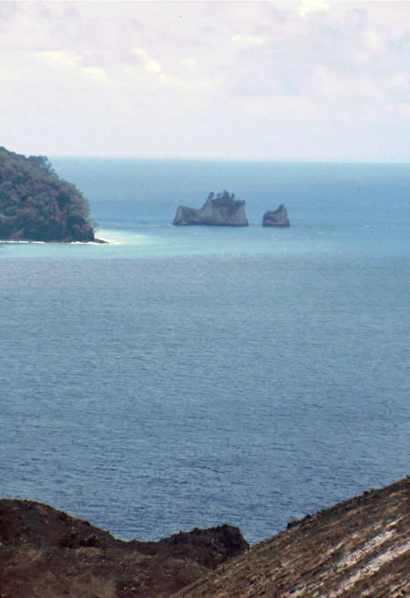
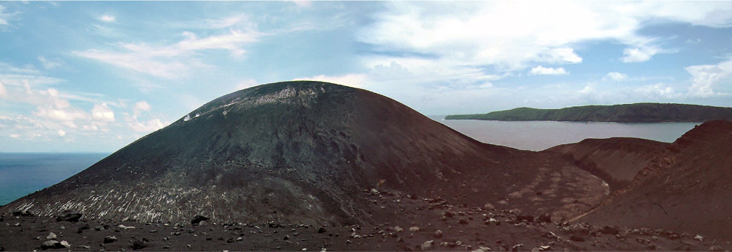
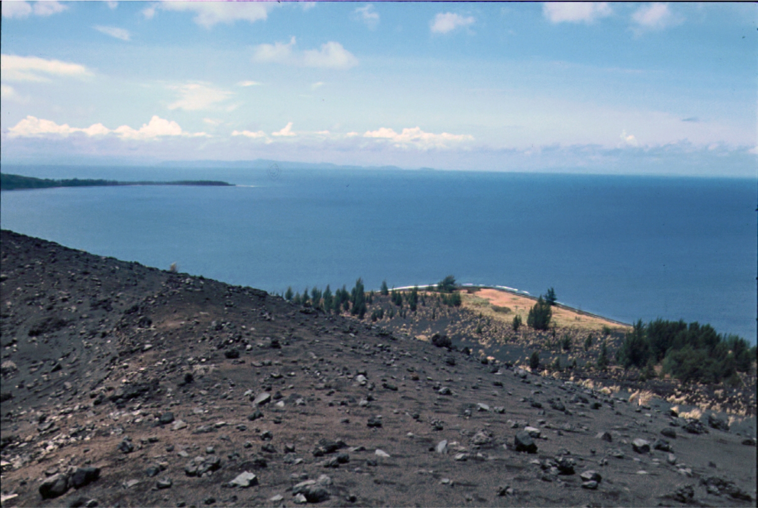
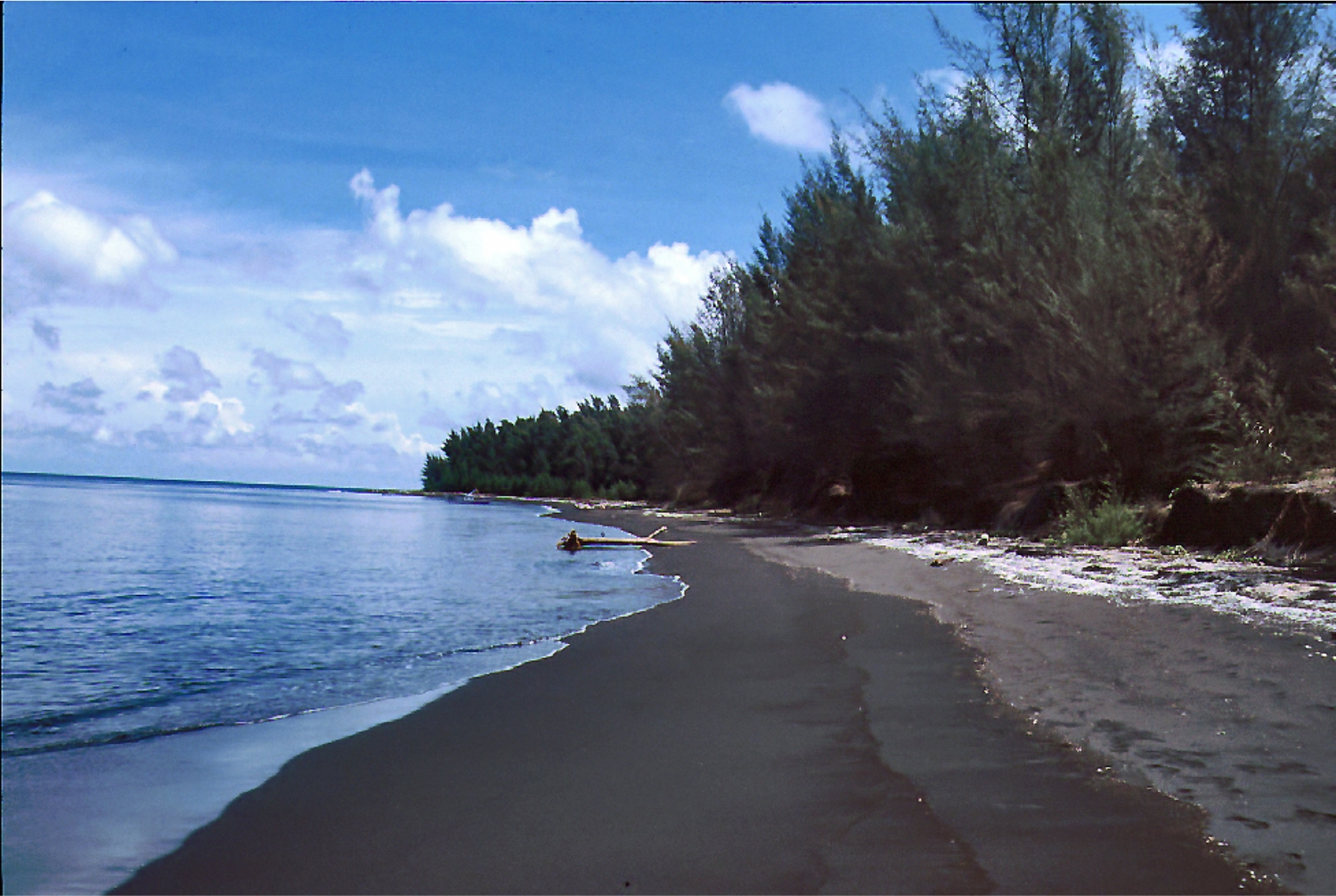
The renowned volcano Krakatau lies in the Sunda Strait between Java and Sumatra. Collapse of the ancestral Krakatau edifice, perhaps in 416
AD, formed a 7-km-wide caldera. Remnants of this ancestral volcano are
preserved in Verlaten and Lang Islands; subsequently Rakata, Danan and
Perbuwatan volcanoes were formed, coalescing to create the pre-1883
Krakatau Island. Caldera collapse during the catastrophic 1883 eruption
destroyed Danan and Perbuwatan volcanoes, and left only a remnant of
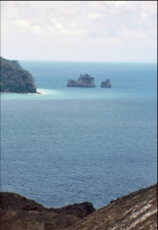
Rakata volcano. This eruption, the 2nd largest in Indonesia during
historical time, caused more than 36,000 fatalities, most as a result of
devastating tsunamis that swept the adjacent coastlines of Sumatra and
Java. Pyroclastic surges traveled 40 km across the Sunda Strait and
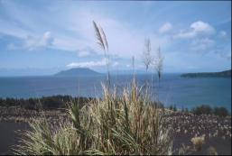
reached the Sumatra coast. After a quiescence of less than a half century,
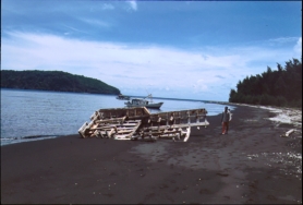
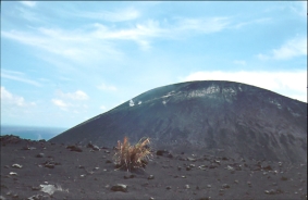
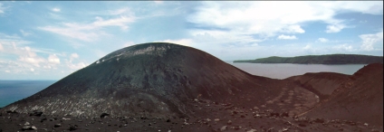
the post-collapse cone of Anak Krakatau (Child of Krakatau) was
constructed within the 1883 caldera at a point between the former cones
of Danan and Perbuwatan. Anak Krakatau has been the site of frequent
eruptions since 1927. (Volcanic Global System)
Oct. 1988
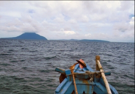
and Sumatra. Collapse of the ancestral Krakatau edifice, perhaps in 416
AD, formed a 7-km-wide caldera. Remnants of this ancestral volcano are
preserved in Verlaten and Lang Islands; subsequently Rakata, Danan and
Perbuwatan volcanoes were formed, coalescing to create the pre-1883
Krakatau Island. Caldera collapse during the catastrophic 1883 eruption
destroyed Danan and Perbuwatan volcanoes, and left only a remnant of
Rakata volcano. This eruption, the 2nd largest in Indonesia during
historical time, caused more than 36,000 fatalities, most as a result of
devastating tsunamis that swept the adjacent coastlines of Sumatra and
Java. Pyroclastic surges traveled 40 km across the Sunda Strait and
reached the Sumatra coast. After a quiescence of less than a half century,
the post-collapse cone of Anak Krakatau (Child of Krakatau) was
constructed within the 1883 caldera at a point between the former cones
of Danan and Perbuwatan. Anak Krakatau has been the site of frequent
eruptions since 1927. (Volcanic Global System)
Oct. 1988


 HOME
HOME